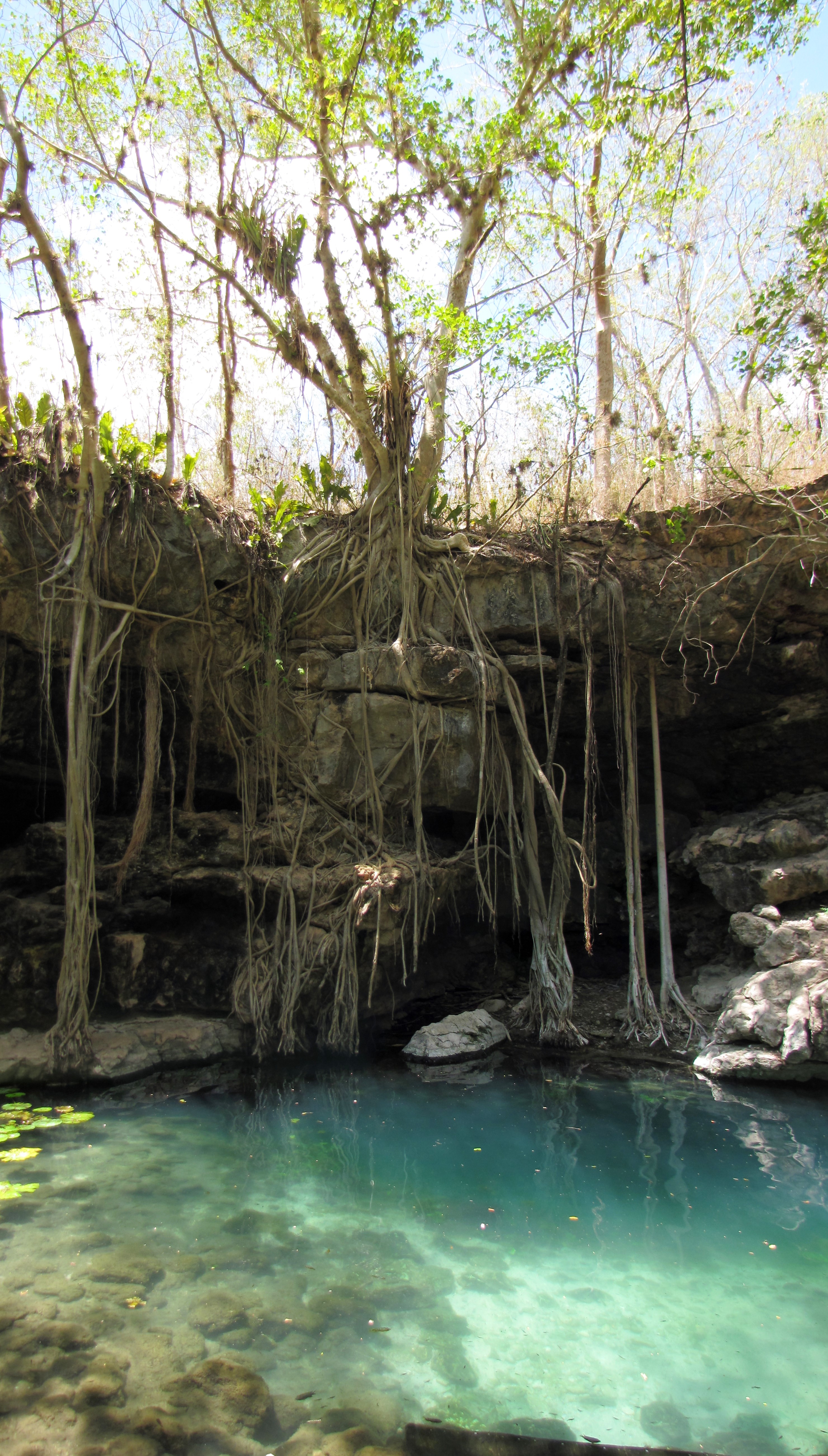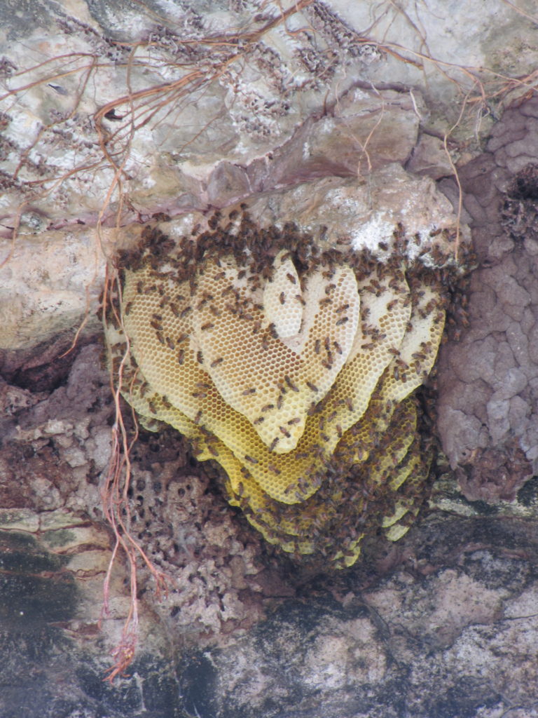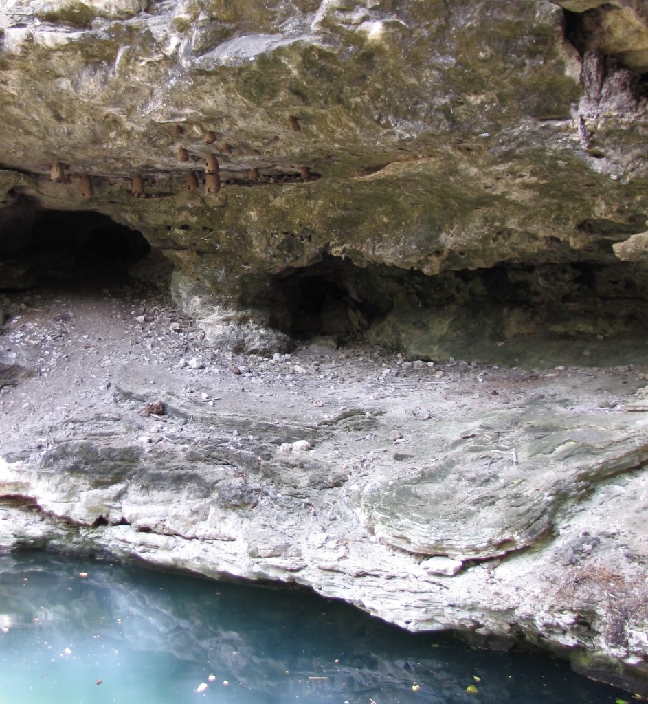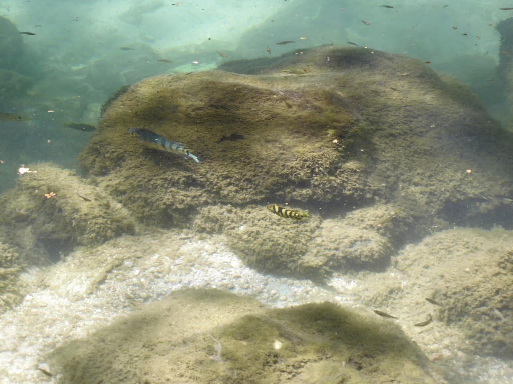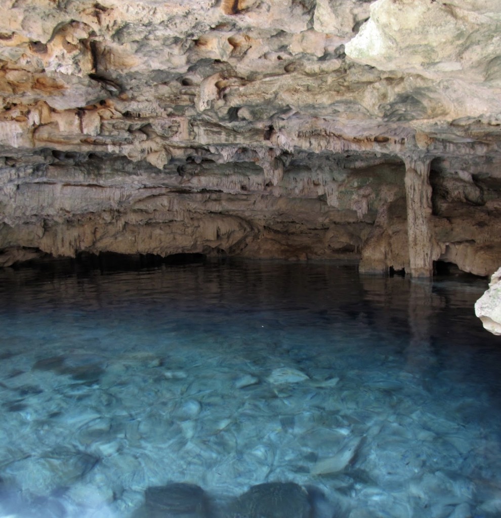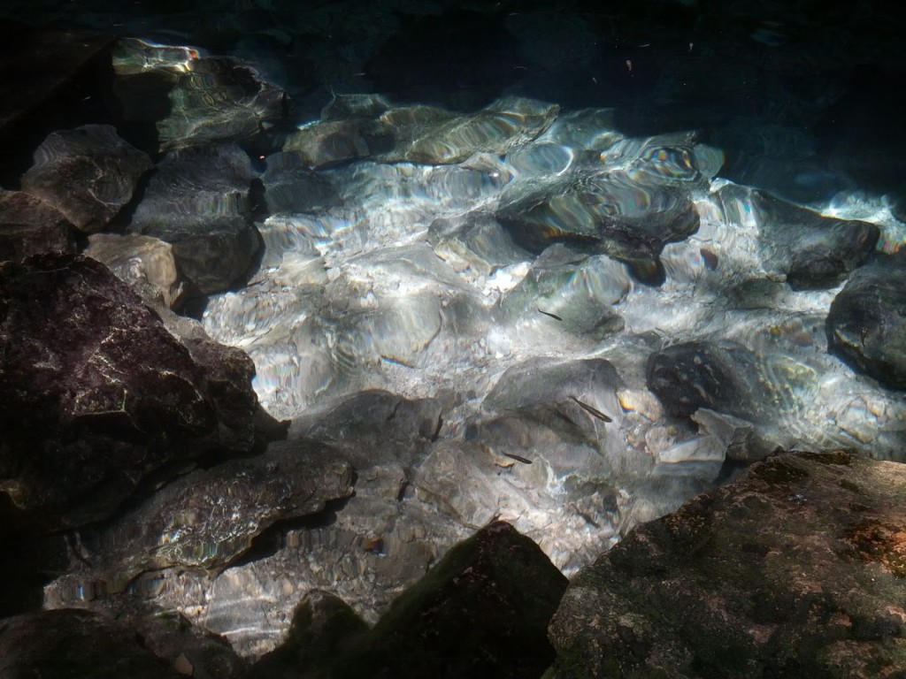
Loltún (aka, Lol-tun or Grutas de Loltún) is an expansive network of caverns located in the northern Puuc region of the Yucatán Peninsula about 20 km (at least 30 minutes by car) northeast of Labná. The inhabitants of the Yucatán have used the caves here for thousands of years for both practical and sacred purposes: as a source of water, clay, and shelter; as a burial place; as a pilgrimage destination; and, more recently, as a defense during the Caste War (1847-1901).
Despite my initial enthusiasm for what promised to be a naturally and culturally fascinating site, as the day of our visit approached I found myself torn about embarking on another cave tour after our experience at Balankanché. On the one hand, I had been looking forward to seeing Loltún’s rock paintings and in-situ artifacts for months. On the other, I really did not enjoy the sensation of having my lungs squeezed or the subsequent panic attack that came with it. Therefore, the night before we were scheduled to head to Loltún, I decided to read some of the more recent descriptions on TripAdvisor to get a better sense of what we were in for.
That decision turned out to be a mixed blessing. While I didn’t find any signs we would experience the same level of discomfort we had at Balankanché, I did come across a few reviews by angry visitors stating that after paying the entrance fee and going on the tour, their guide had insisted upon tips of 500 pesos (between $25-$30) per person. Not only was this much higher than the going rate for guides at any other place we had encountered, but when taking the day’s expenses of hotel and gas into account, it was more cash than we had. In addition, ATMs—like gas stations—are fairly rare commodities in this area; the only one we knew of for certain was at Uxmal, but there was no way of getting to it without spending precious time and gas driving out of our way and then paying for parking again.
After some debate, we decided to take our chances and stick to our original plan of going to Loltún, put aside as much cash as we could, and just look for ATMs along the way. (We didn’t find any.) After all, we reasoned, if guides wanted to require high, unstated costs that most visitors couldn’t reasonably be expected to be prepared for, surely there must at least be an ATM at the site. (There wasn’t.)
By the time we finally reached Loltún, we were low on both cash and gas, leaving me high on anxiety. At the welcome center, we looked in vain for any indication of what the cost of the guide should be, but saw only the (also rather high) entrance fee. We swallowed hard and paid for our tickets, then waited.
The crowd grew considerably over the next 20 minutes, until eventually the guides approached and shuffled us into two, large groups of around 12 people each. Although tours were supposed to be available in English or Spanish, and although there were still several guides who did not accompany either group, both tours were in Spanish. I was disappointed until I realized that being handled like extra luggage rather than actual members of a tour relinquished us from the pressure of giving a particularly high tip. I was finally able to relax. A little.
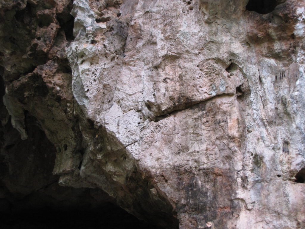
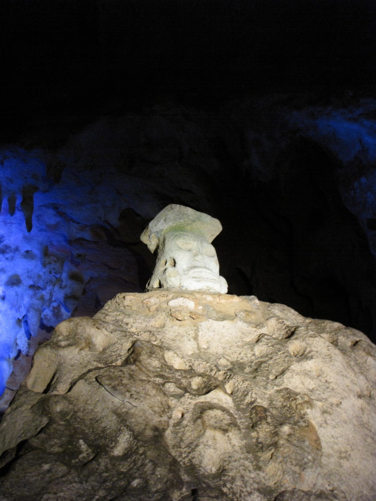
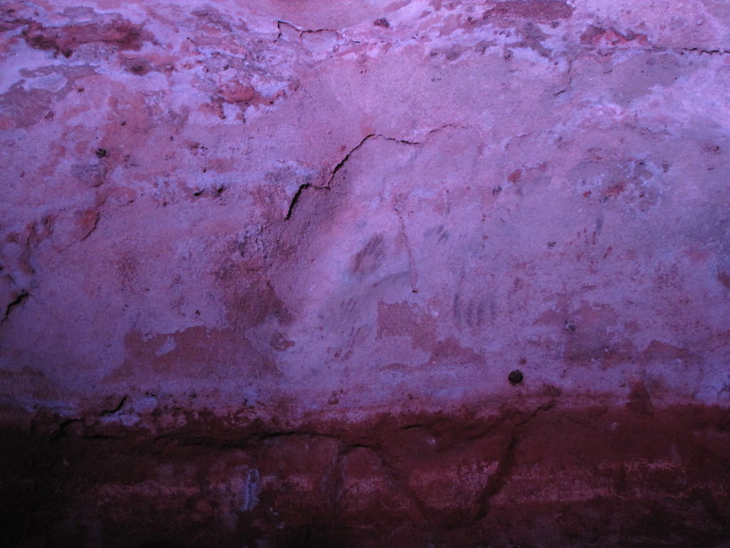
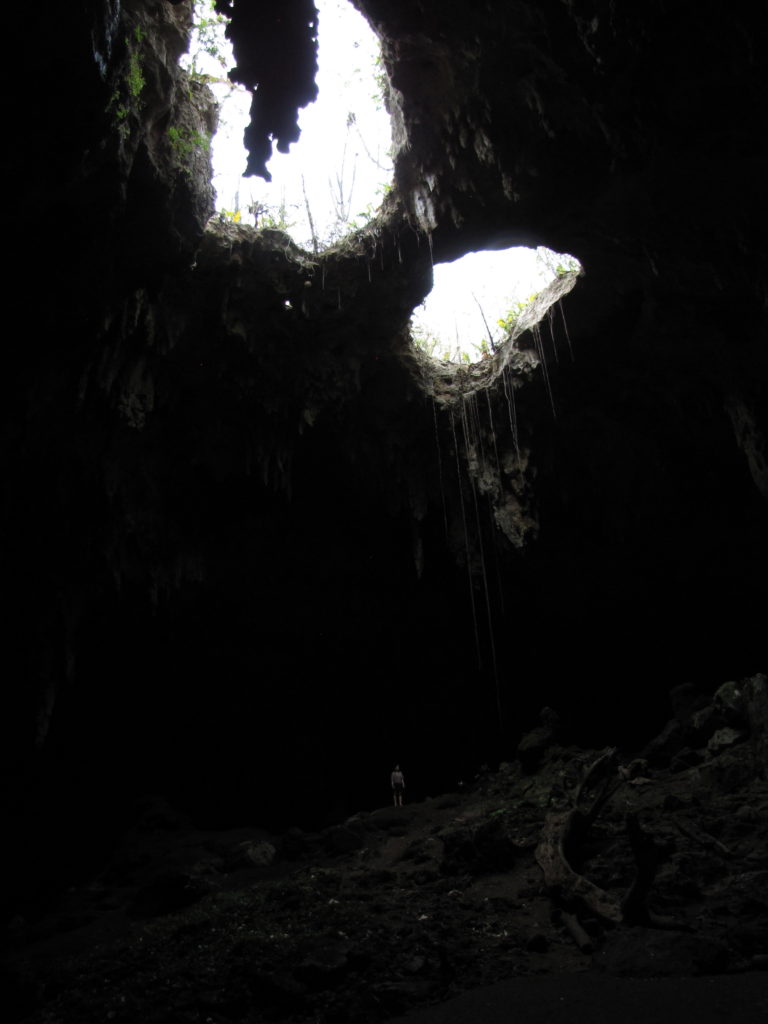
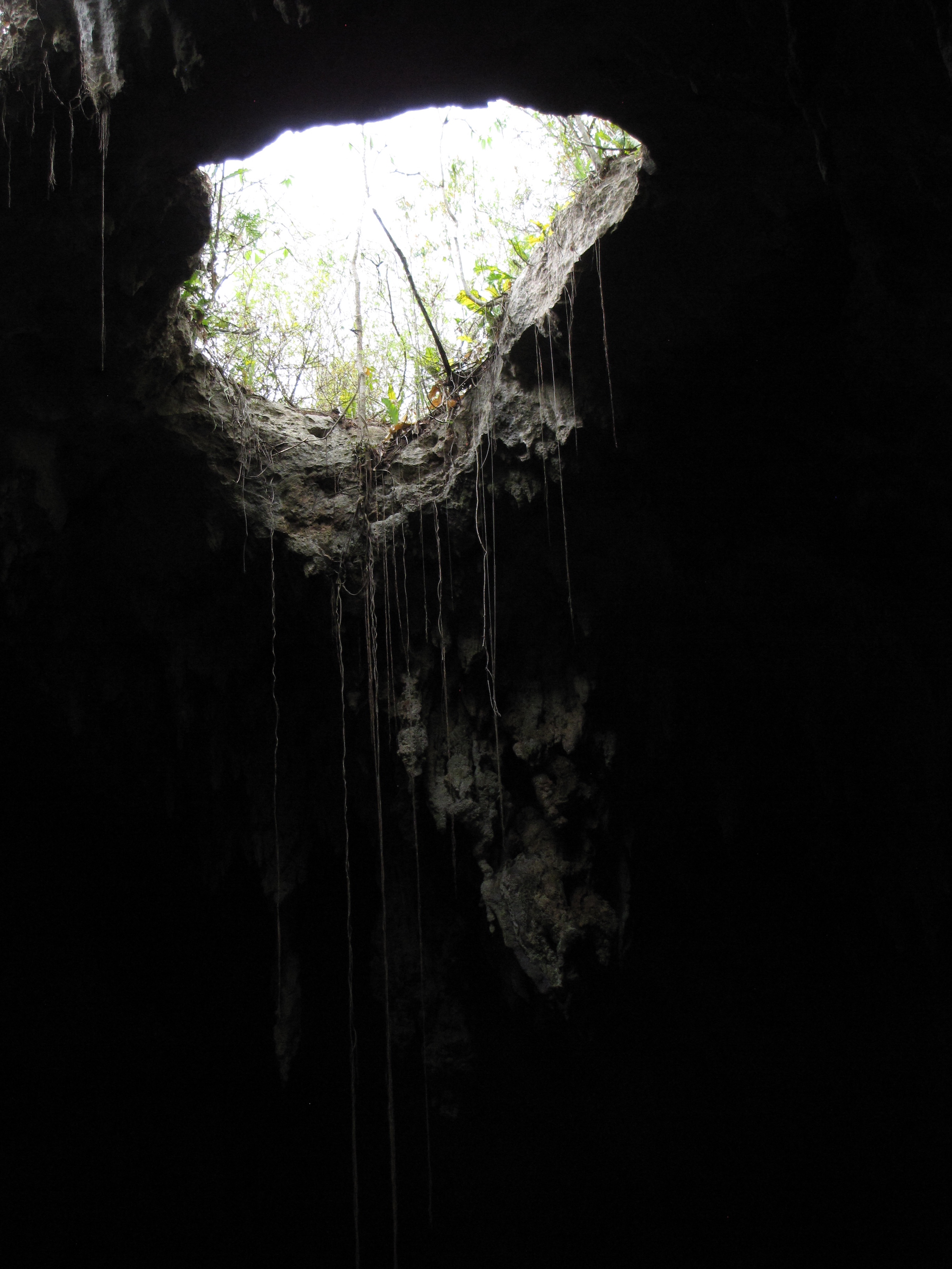
Without the insight of a guide, we relied on the dual-language signs posted at some of the important stopping points along the path, as well as Andrew Coe’s guidebook, for information on the history of the cave. Mostly, though, we just focused on what we saw and tried not to fall as we slipped over slick, sometimes steep, and often dark paths that connected the caverns’ dramatically lit highlights, including the roughly carved “Head of Loltun;” hand paintings; and the giant “Room of Inscriptions,” which is naturally illuminated by two, large holes in its ceiling. Crucially, these openings let in air as well as light, and are thus partially responsible for the cave’s relatively cool—and breathable—climate. Even with the more pleasant temperatures, however, the caverns were still quite humid and some of the smaller spaces became less-than-comfortable when filled with people. The precariousness of the paths, too, make Loltún a destination that requires at least a moderate level of fitness and lack of fragility, not to mention a pair of good, grippy shoes.
Even though we couldn’t follow most of what was being said, the guide still enabled us to navigate the sometimes precarious terrain, in one spot acting as a physical anchor and pulling us up a particularly difficult incline. At the end of the tour, we handed him all the money we had set aside (minus a small amount held back for buying the gas we would need to get to Campeche that evening) and he accepted it with a thank you and without a second glance.
Would we go back? Probably not. Even a year later, a smog of stress still hangs over my memories of our visit. But much of what we saw was spectacular and unlike anything we encountered elsewhere. All-in-all, I’m glad we went and mostly wish I hadn’t worried so much along the way.
Highly subjective personal rating: 6.5/10 [Actual content of the caves: 8/10; experience leading up to and during the tour: 5/10]
