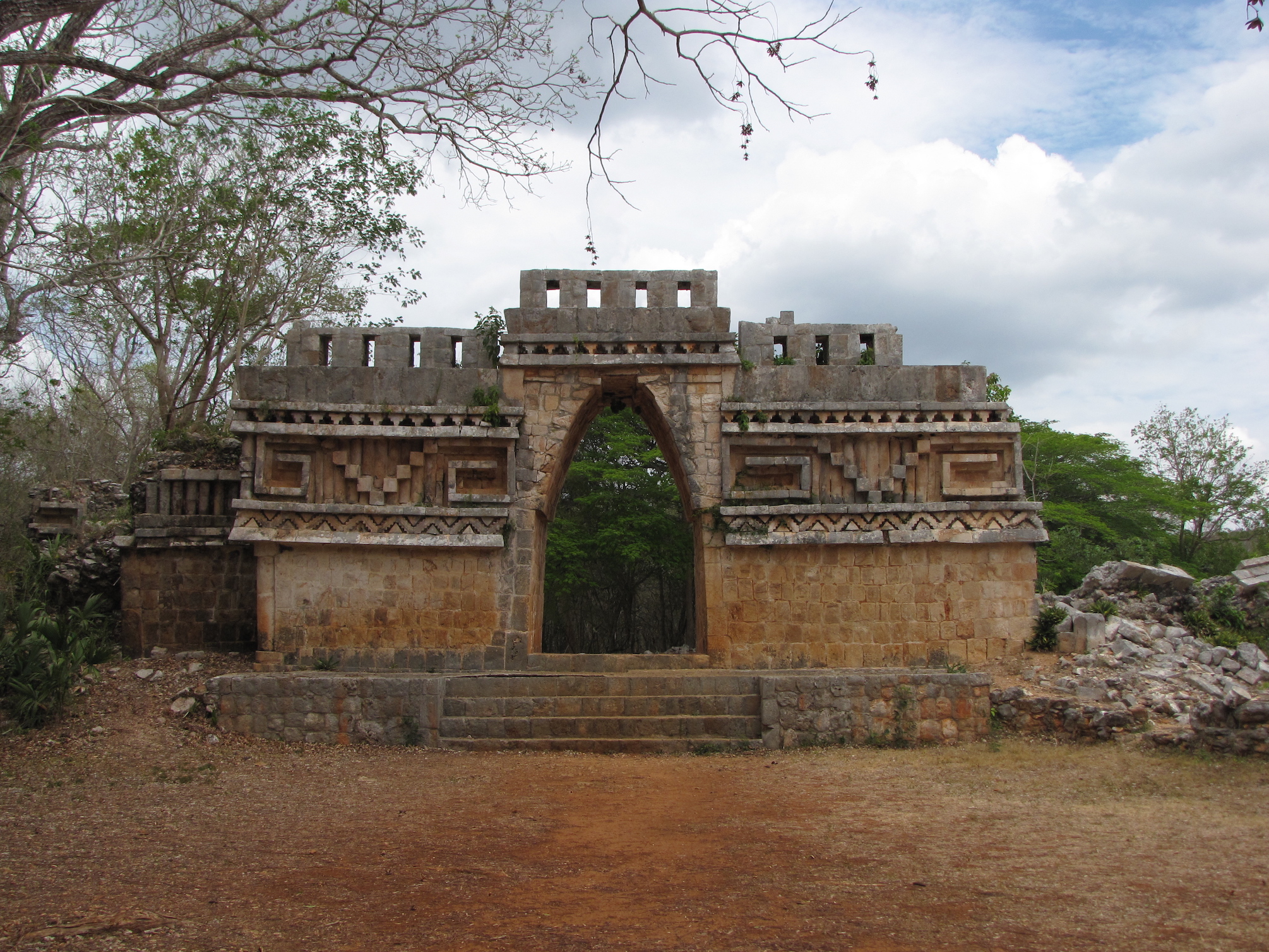
Driving another three km east from Xlapak took us to Labná, the last of the ancient cities along the Ruta Puuc included within Uxmal’s World Heritage site. Labná is a bit smaller than Kabah and Sayil, and is one of the oldest cities of the region. The primary buildings, including the palace, gateway, and mirador (observatory), are notable not only for their unusually well-preserved state, but for being particularly emblematic of the Puuc style in both architecture and decoration, with myriad long-snouted masks, attached columns, step-and-fret designs, and even figural reliefs gracing their exteriors.
According to the entranceway plaque, Labná’s origins likely date “from around the beginning of our era,” although the remaining structures are the result of multiple building phases from 750 to 1000 CE. Like the other cities in this arid area, Labná depended on its ability to catch and store rainwater, which it did using nearly 70 chultuns (narrow, domestic cisterns) and a natural aguada (sealed depression in the land, similar to a cenote).
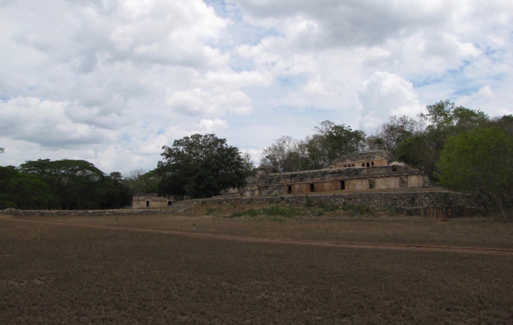
The palace is the first major building visitors encounter within the archaeological area. Set on a platform and facing the sacbe that still connects it to the residential and mirador groups located directly to the south, this structure is the largest of several buildings that make up the “palace group.” Although shorter and less imposing than Sayil’s three-story version, Labná’s palace has the relative advantage of being more accessible and better preserved. And its many nooks and crannies do benefit by close inspection.
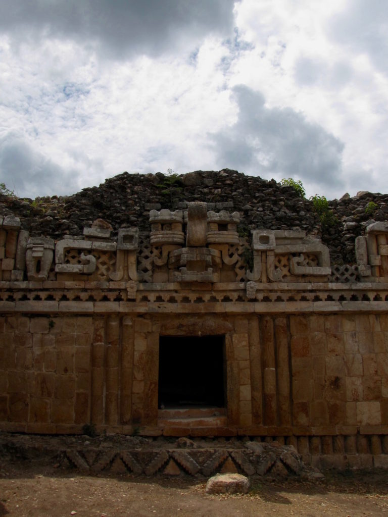
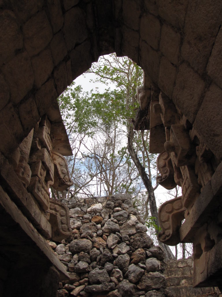
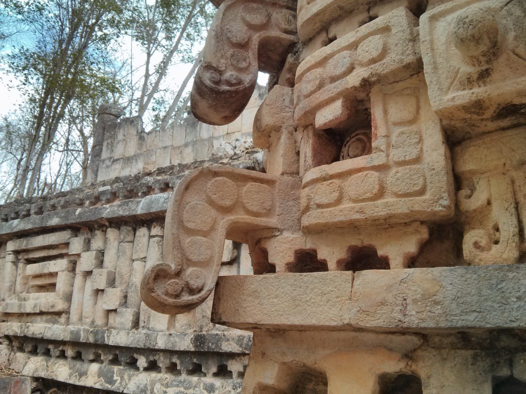
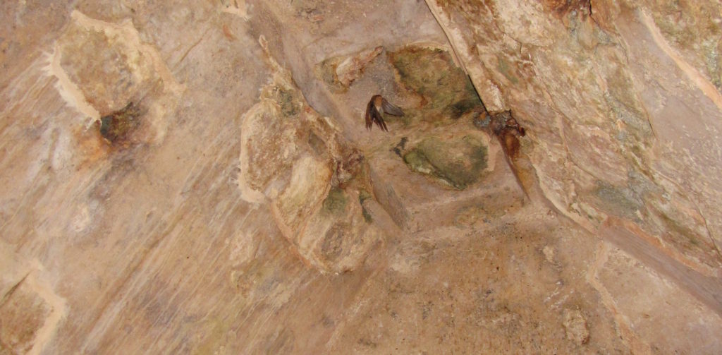
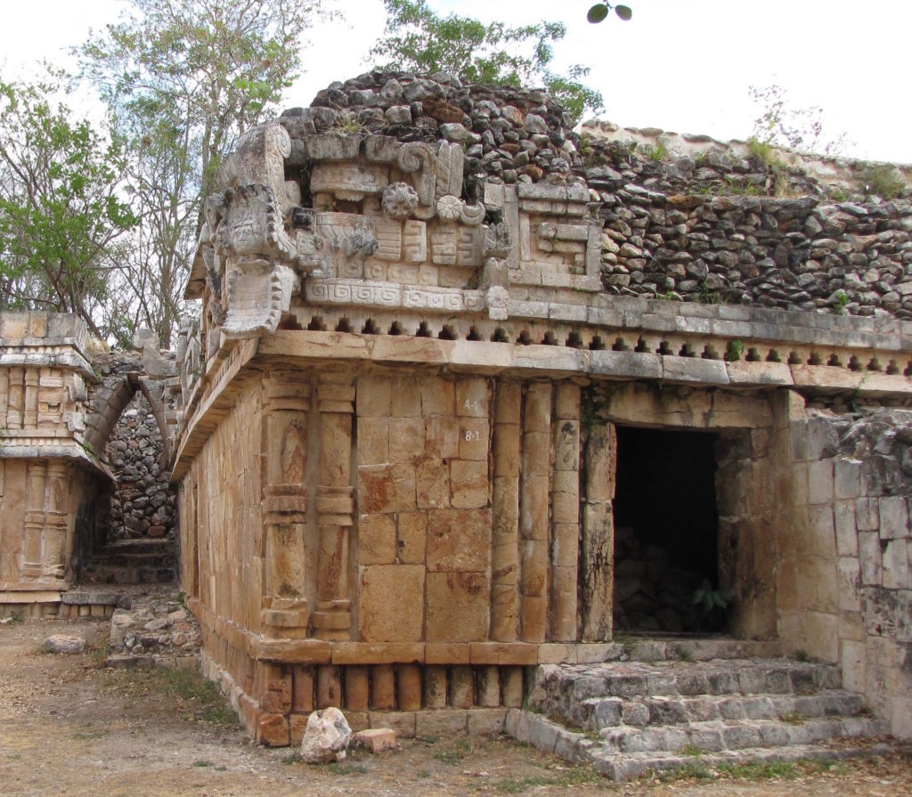
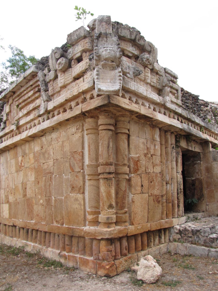
From the palace, visitors can take a path east to the “Edificio de las Columnas,” an L-shaped residential structure built in the Puuc Junquillo style, or walk south to Labná’s most distinctive feature: its gate.
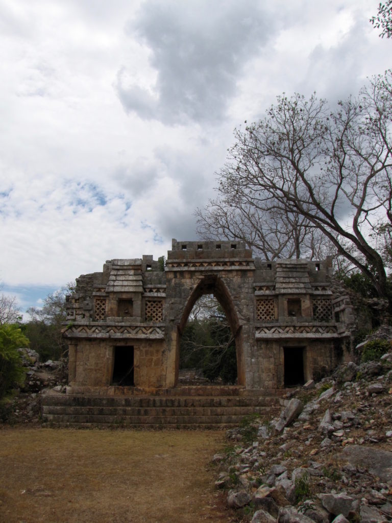
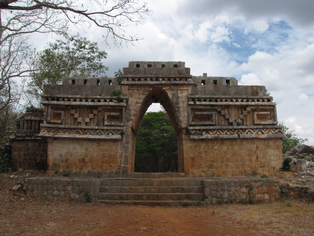
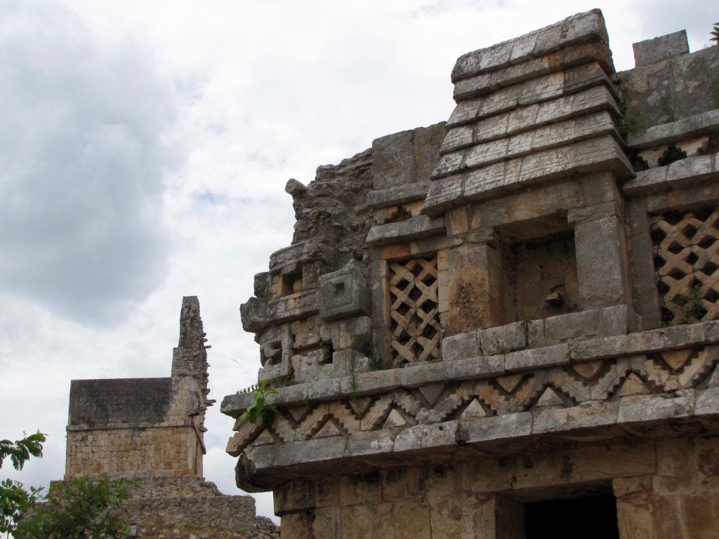
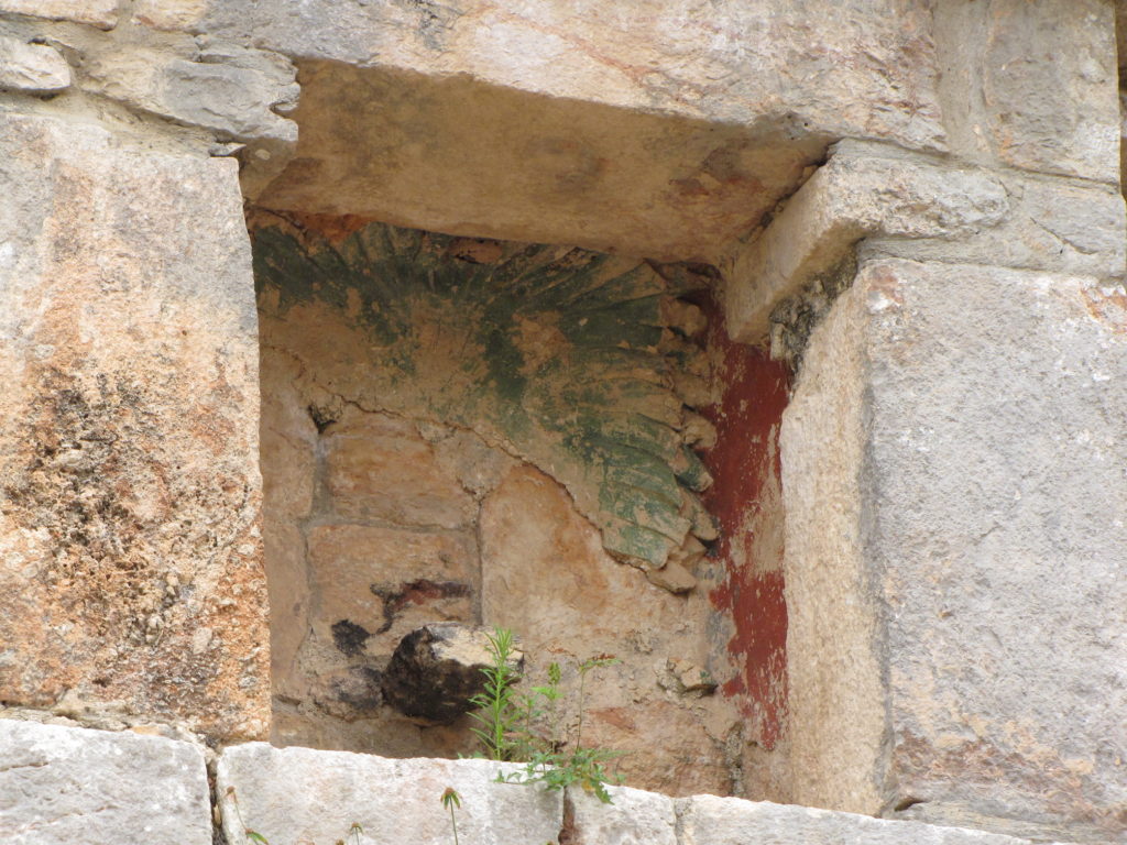
As an imposing structure that simultaneously limited and permitted movement between two plazas, the gate would have both connected and demarcated the spaces of the residential group to the west of the sacbe and what was likely a ceremonial center to the east [ref. map]. Iconographically speaking, the western face is the more exciting façade, with its miniature huts flanking either side of the archway. Each hut’s niche once contained a brightly painted stucco sculpture of a seated warrior, remnants of which are still extant today. The blue-green headdress and red walls are especially visible in the niche to the right (south) of the central doorway.
For us, the gate is also memorable as the place where, while trying to 123D Catch the exterior, Josh smacked his head, skinned his shin, and bruised his foot falling down a pile of rubble. The experience was a good reminder to stick to the better-worn paths or, at the very least, to avoid unsure footing while wearing sandals.
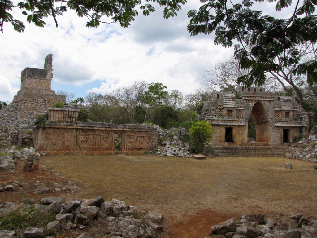
To the east of the gate stands el Mirador, a 20 meter, pyramidal heap of stones topped by a small temple with a giant roof comb.
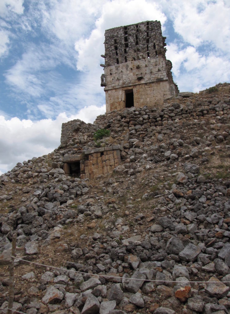
The many support stones on the south side of the comb are evidence of elaborate stucco work that once covered the front of the building and, like the archway, was probably brightly painted. Although we know from early descriptions that most, if not all, of this decoration consisted of human figures, very little of the original ornamentation has survived [ref. image]. Fortunately, it doesn’t take a great deal of imagination to understand that this area—which is still impressive in its denuded state—would have been spectacular in its original condition.
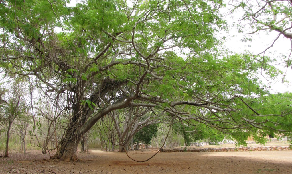
We eventually returned to the welcome center via a more shaded (and rather beautiful) path on the western side of the site before once again hopping into our car and heading to Loltun cave, our final archaeological stop in the region and of the day.
Highly subjective personal rating: 7.5/10